Children’s Wall Maps
World Maps, Country Maps and County Maps available to buy now:
Children’s wall maps are produced with larger type and confusing information removed, for easy stage learning.
Click the map to zoom view:-
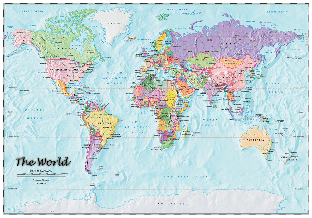
- World Map – Children’s
-
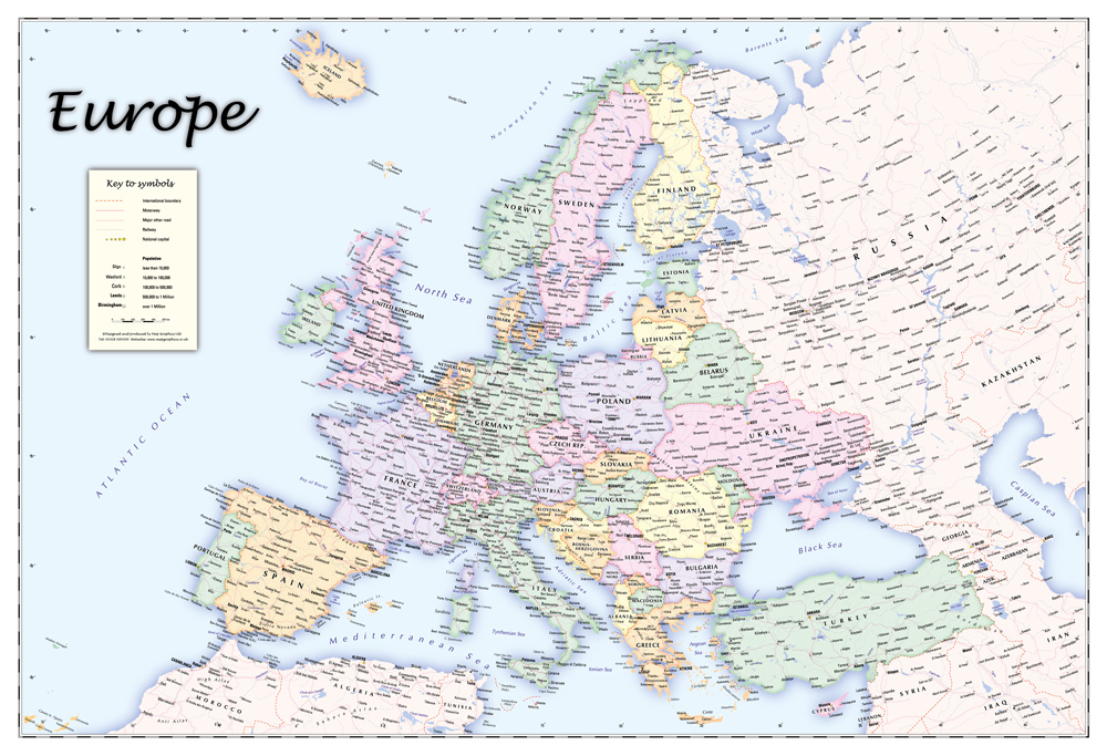
- Europe Childrens Wall Map
-
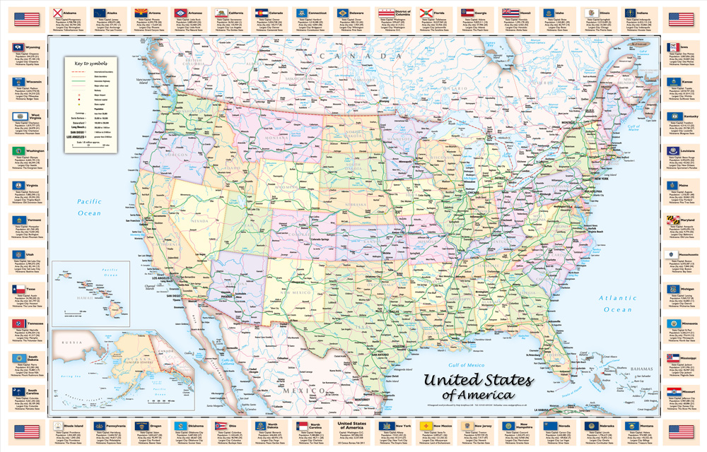
- USA 8 Million Scale Children’s Version
-
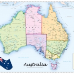
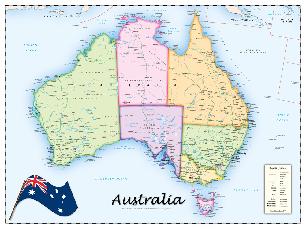
- Australia Children’s Political Map