Planning Map Service
Bespoke Planning Map Service from Location Maps Limited
Location Maps Limited work with the Ordnance Survey, as licenced partners we have access to the most up to date mapping bases.
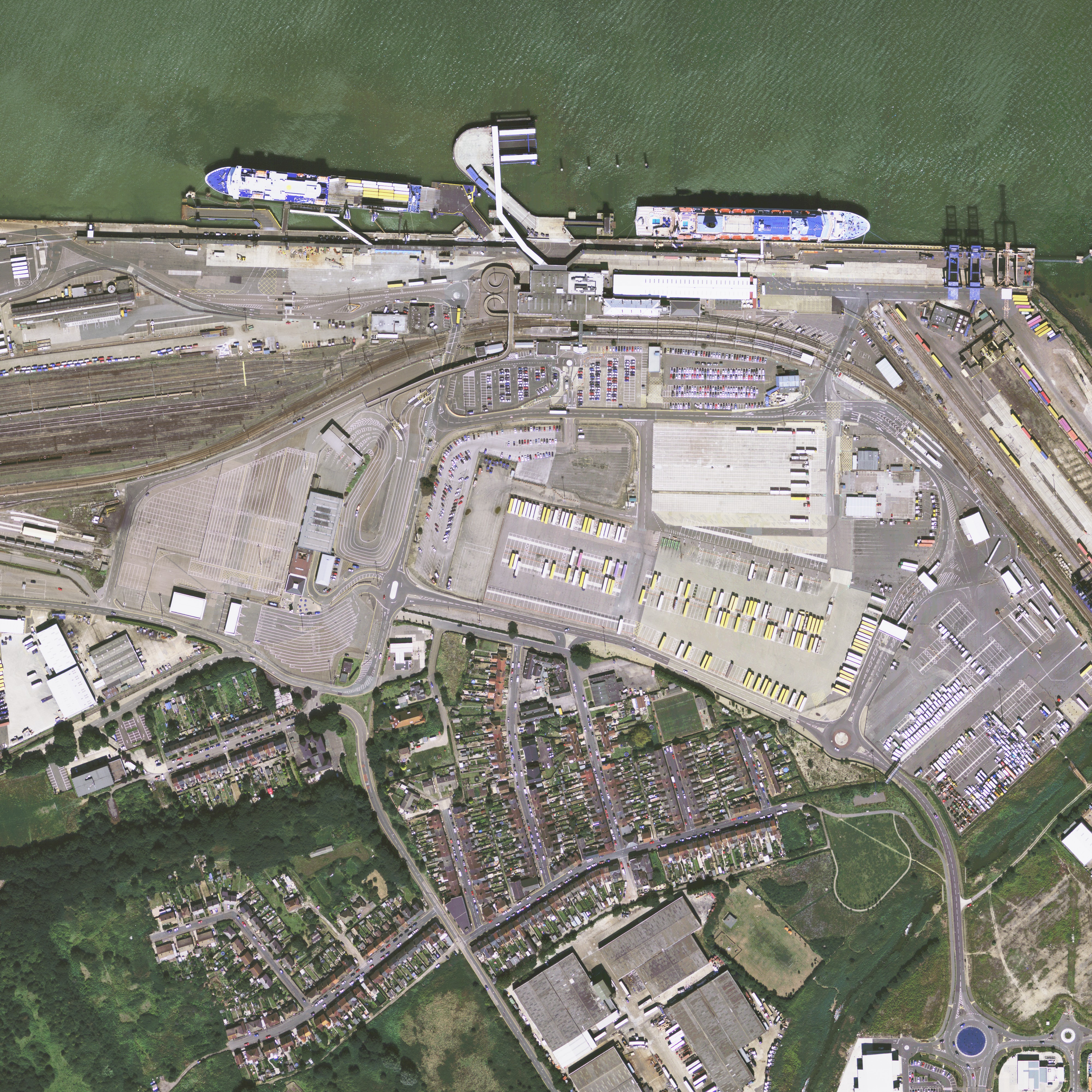
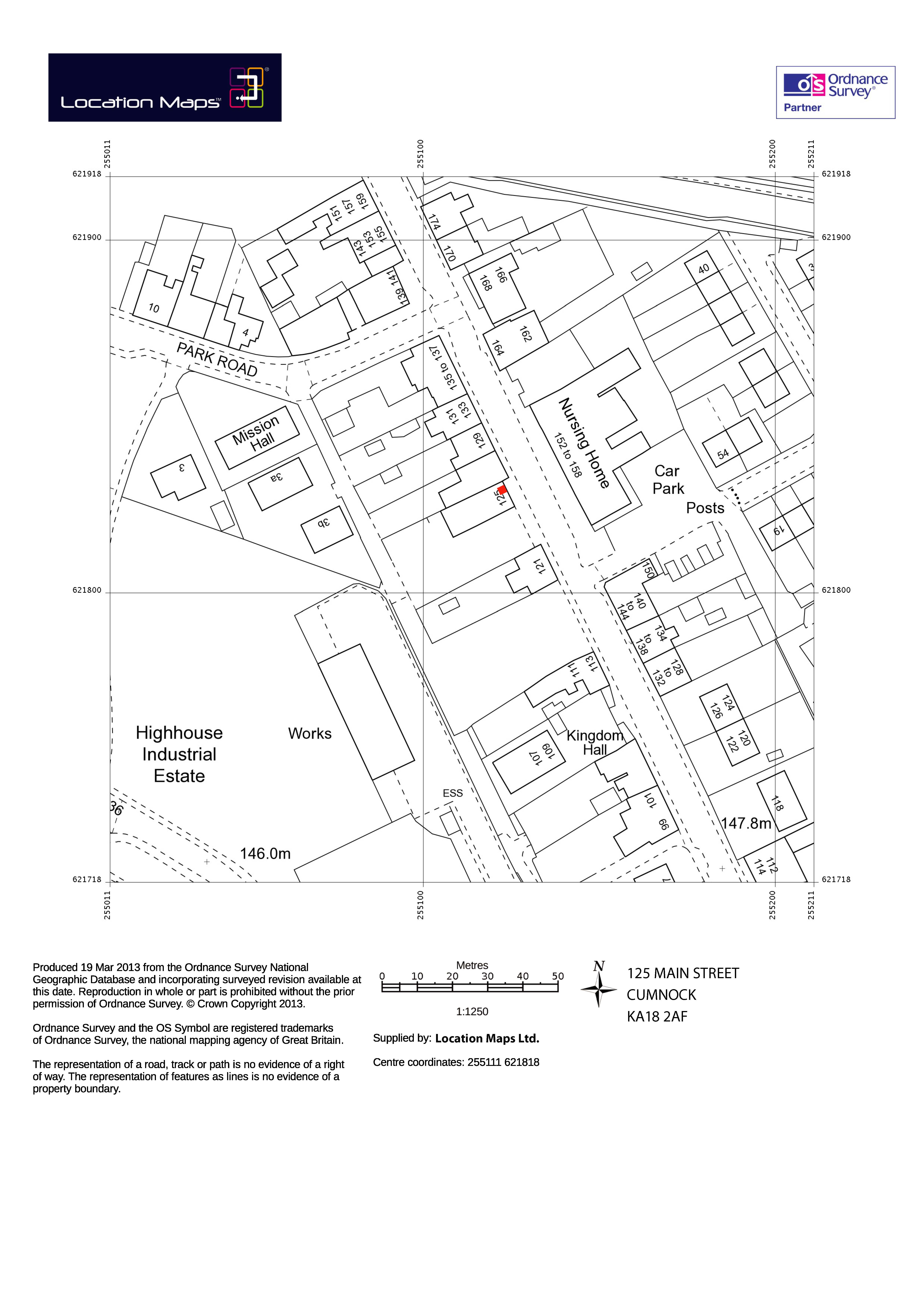
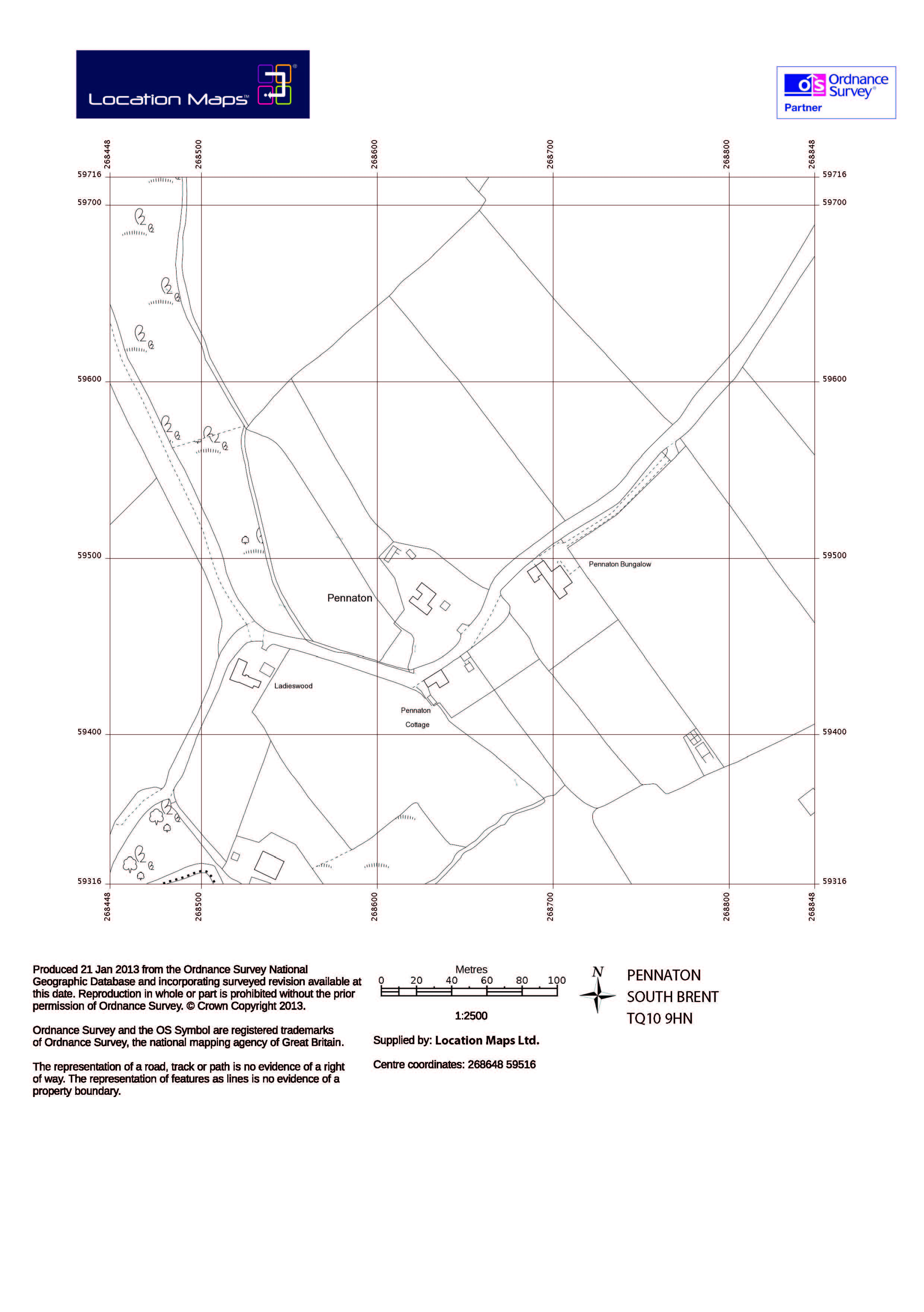
Based on the location you provide, and if required (especially for rural areas) to agree area coverage we send you an aerial view of the proposed building/change of use site. The data is then cut out to the exact area and scale required with the amendments to the plan highlighted in accordance with the planning application proposal. If you want to save some money we can just supply the base plan and you can overlay the required information yourself.
We supply in file format DWG – print ready pdf file or print colour copies for you.
Many planning and Land registry applications are turned away due to incorrect scale, missing data from the base plan, wasting your time and money with rejections and re-submissions. We help you to get it right the first time round.
Our prices start from £25.00 for a simple A4 print or print ready file to cover a 4 hectare area. (200m x 200m)
For more information or a quotation use our contact form below.


